We had left camp before 7 in the morning, met the Elephants just after eight and half an hour later we came to the flood plain. End of January rains west of Etosha brought Hoanib river in full flood. The water continued towards the ocean until it reached the high sand dunes along the coast.

The “Google Earth” picture above is a bit old but is shows how the river flow stops with the dunes. With this year’s massive flood this is the effect:
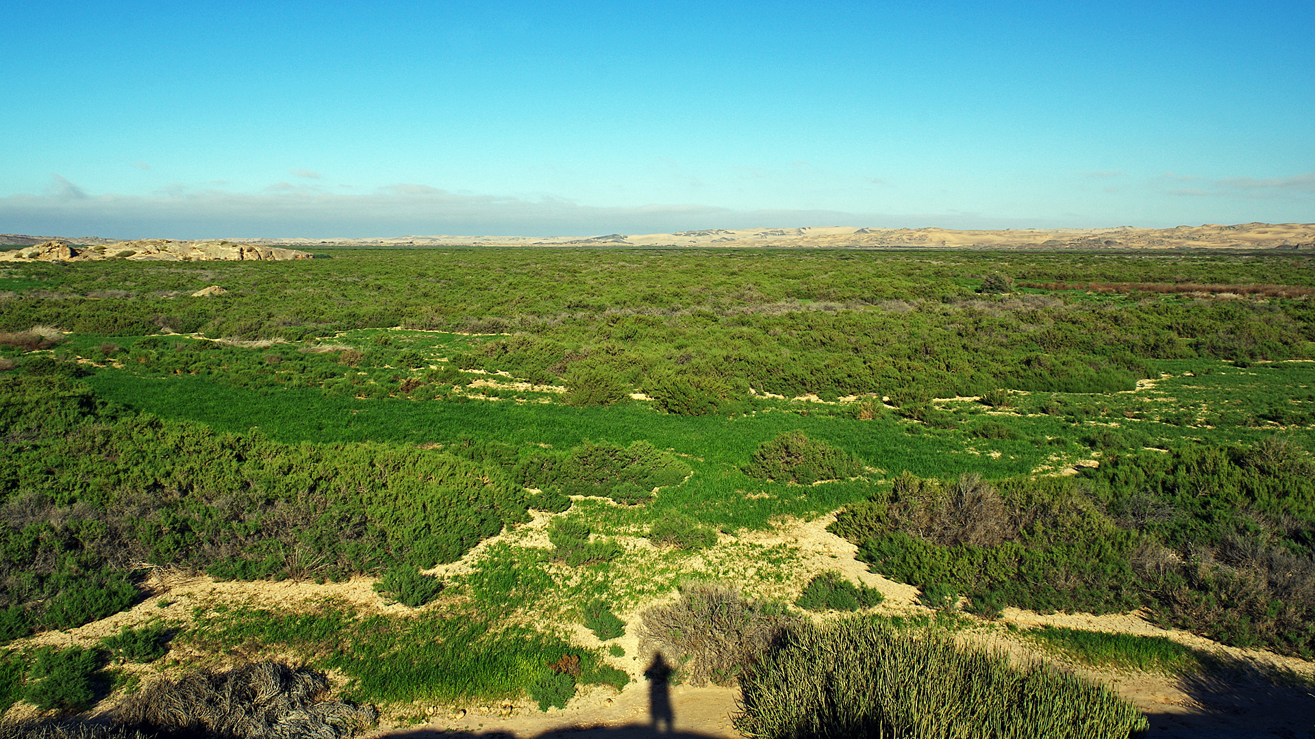
A huge green area in the desert! This will affect life here for many years and it was an amazing sight.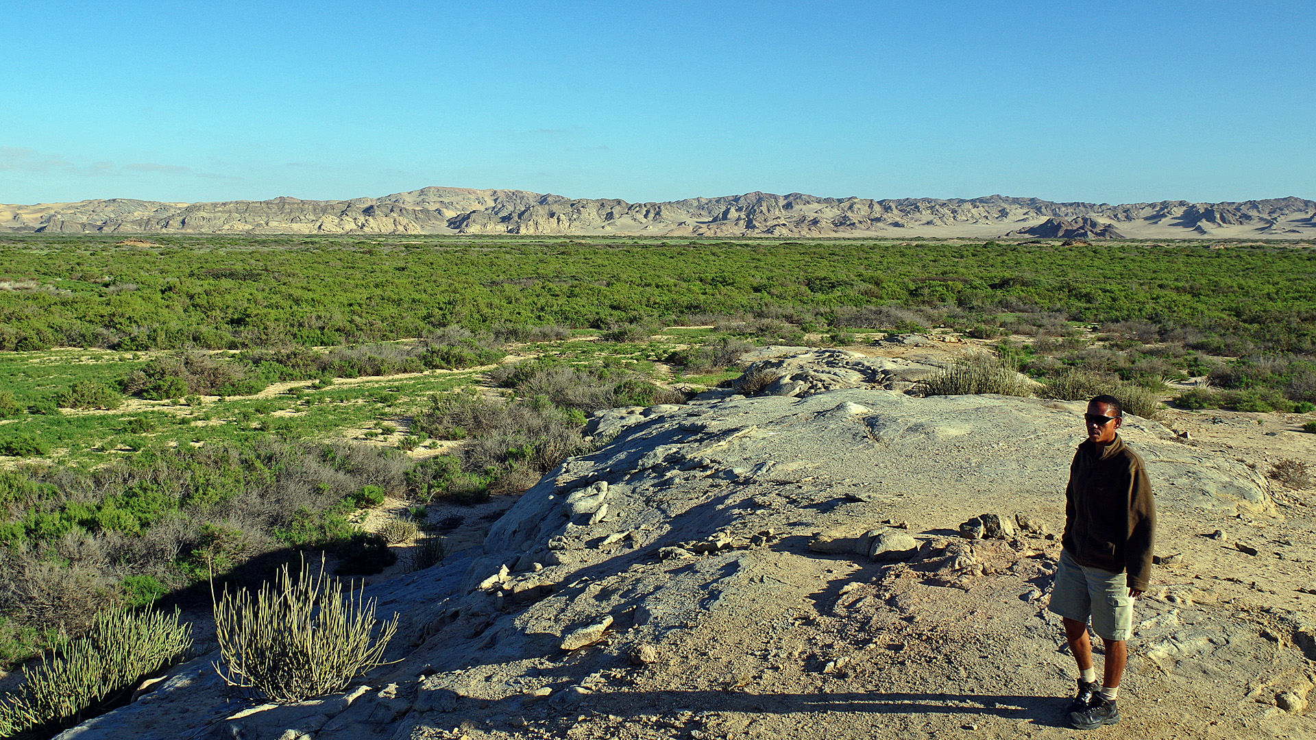
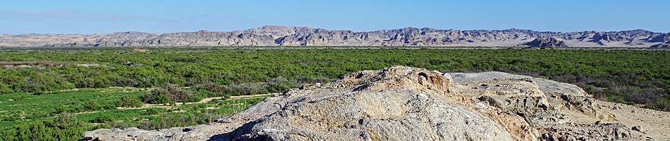
Above we are at the southern edge looking north over this fantastic green flood plain but if you turn around…
…looking south it is just dry desert and…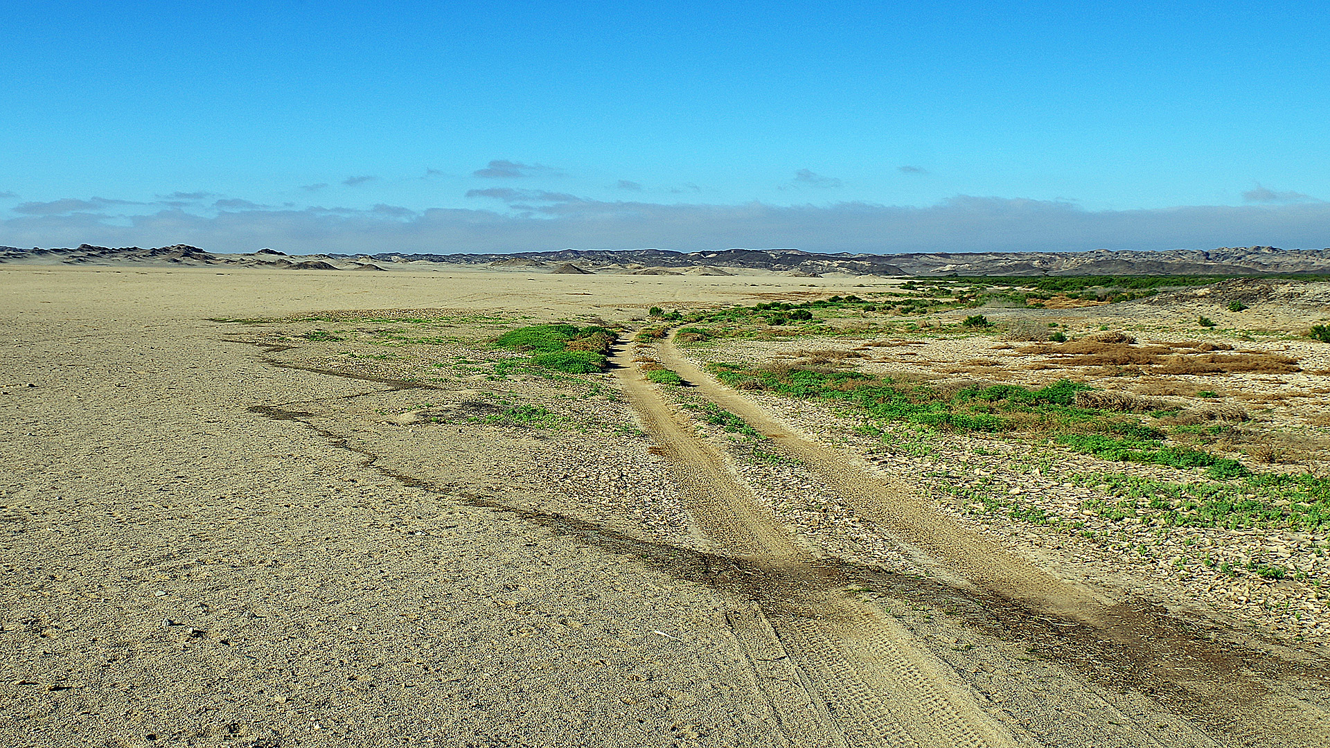
…this picture shows it well. You can see exactly how far the water from the river reached. Outside that line is the dry desert, inside the line is life.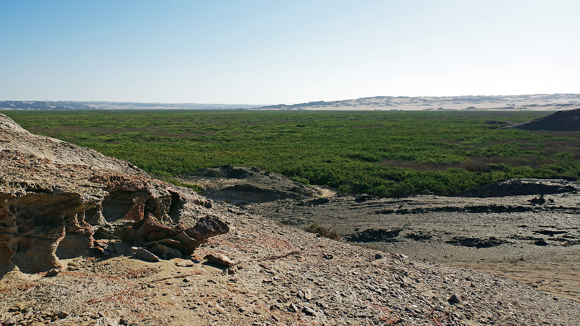
It was a fascinating sight, the greatness of it hard to comprehend.
It is quite unique to be able to see this thick, lush carpet of grass in the desert.
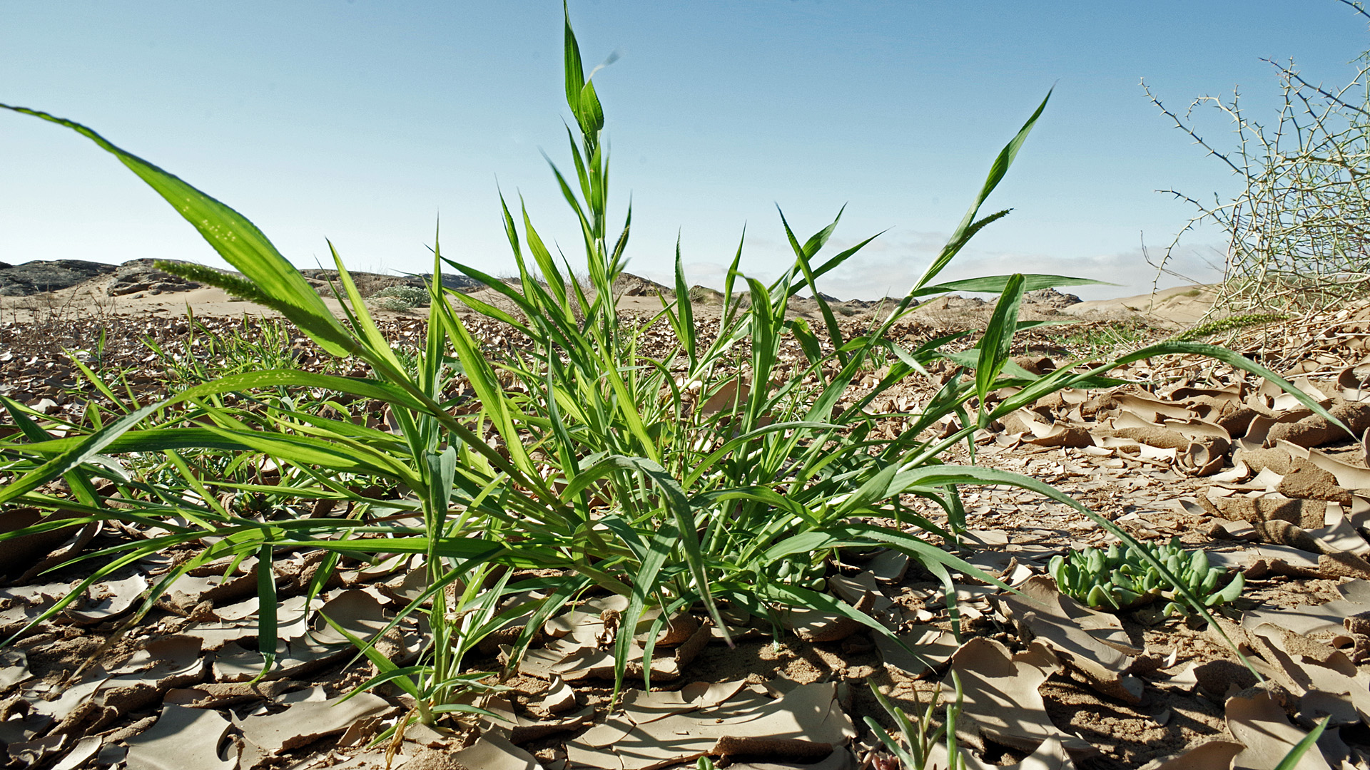
Desert and a tuft of fresh grass. it must be a miracle for animals living here.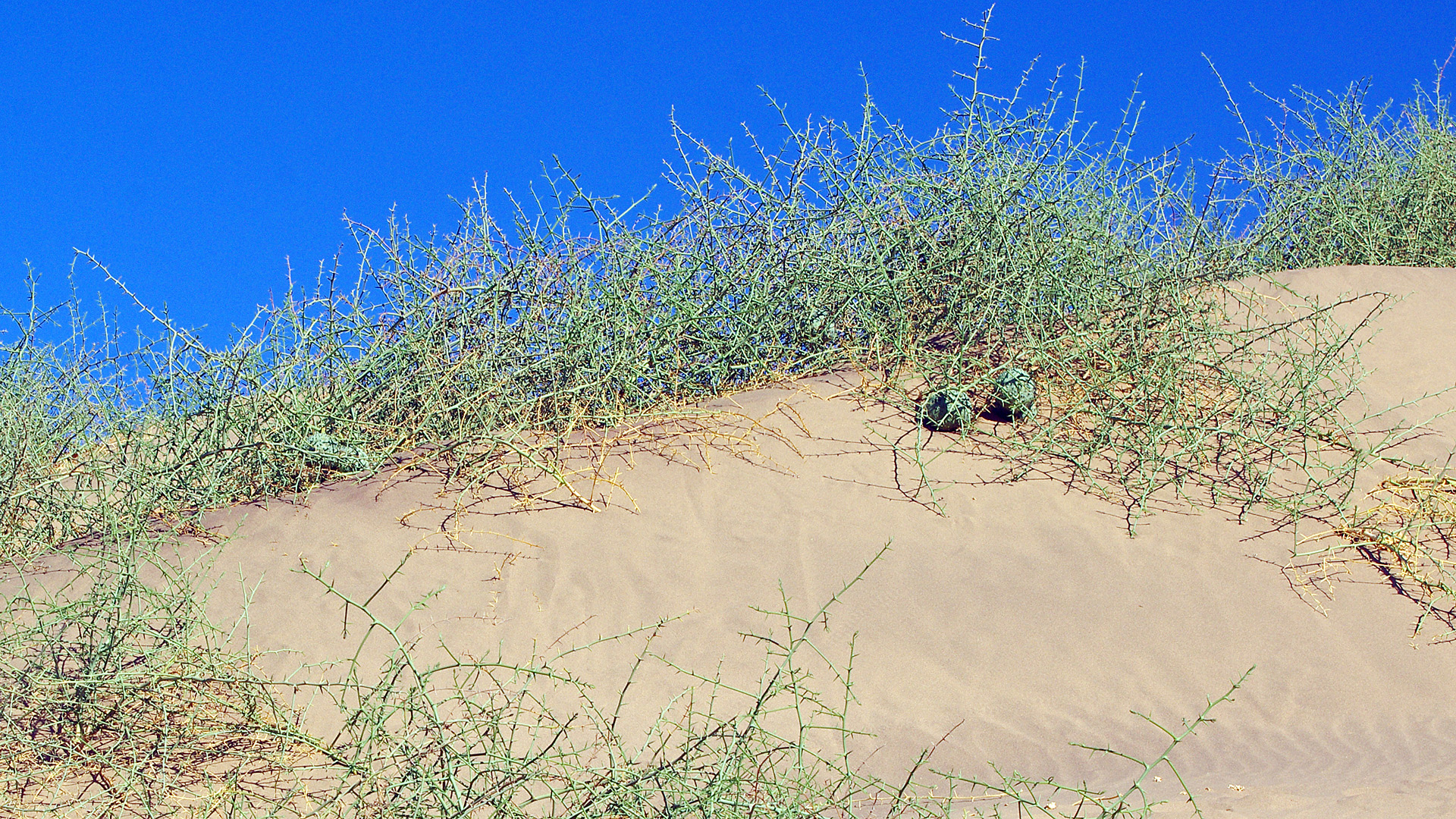
Normally they would rely on this for food.
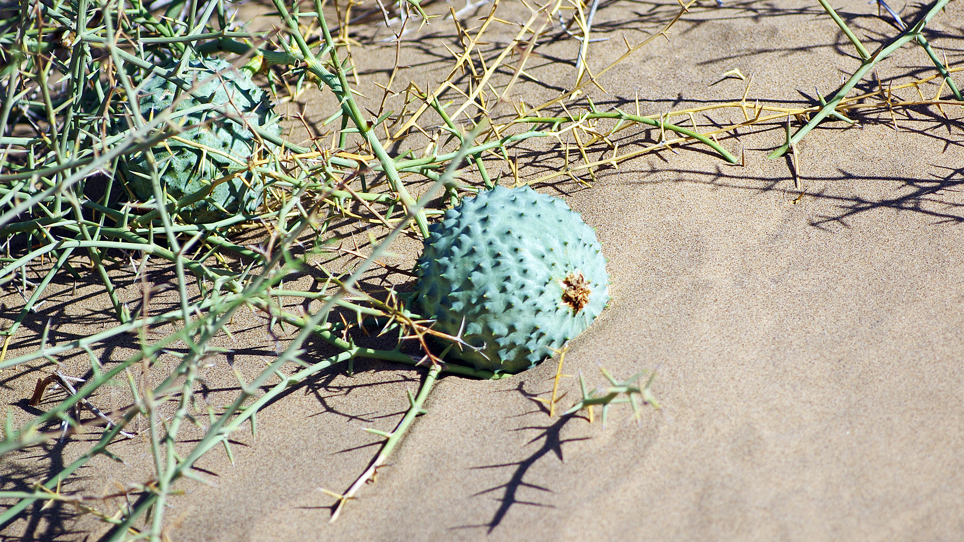
Nara melons.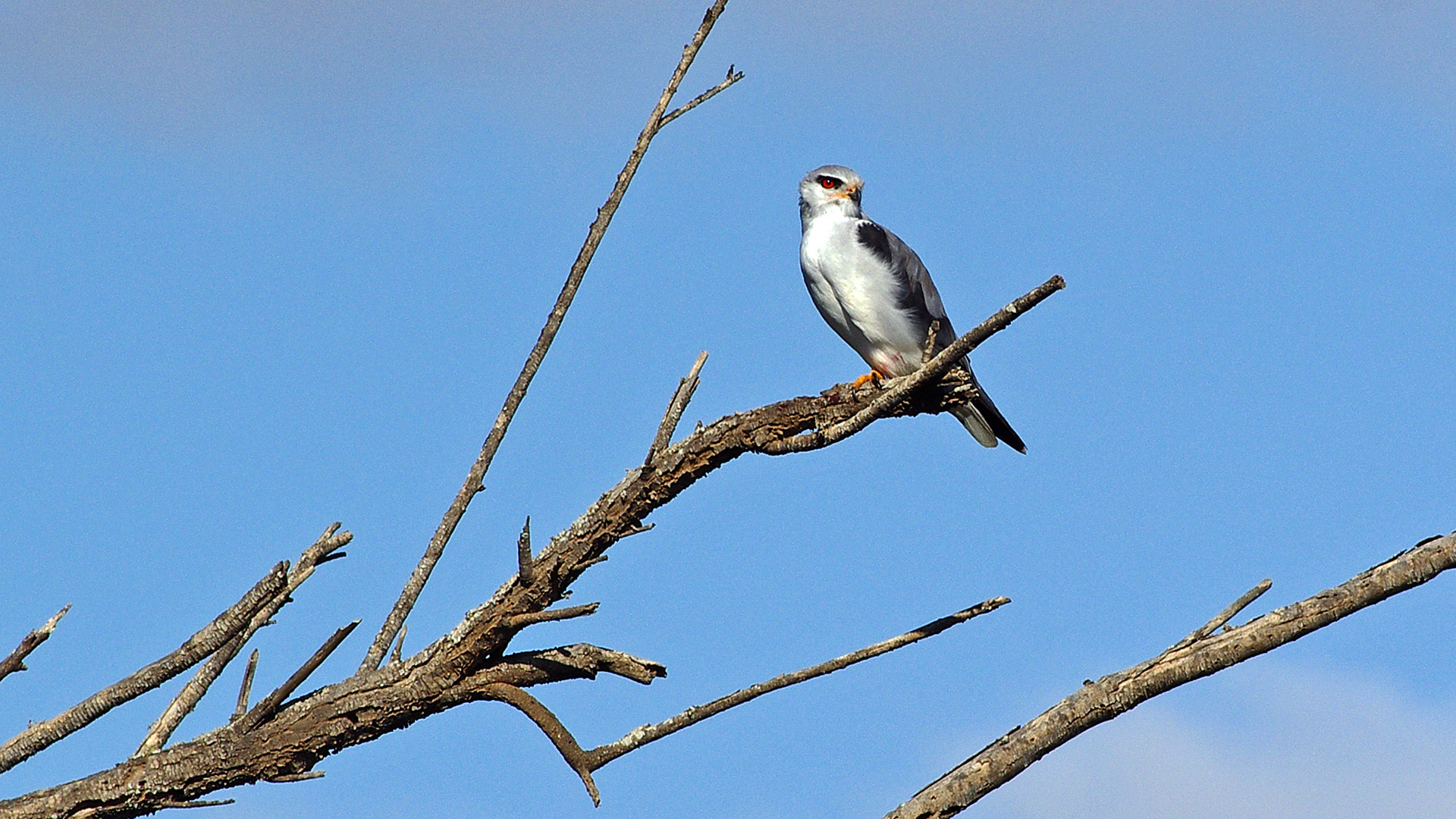
This Black-shouldered kite will end this post. We had reached the end of the flood-plain and entered the dunes…
Pingback: Tourism – Skeleton Coast | Namibia